The Voyage of The Aegre
Before the days of GPS, measuring the distance run at sea each day and the compass course steered helped the navigator estimate their position. An important aid on the ocean where cloudy days and nights often obscured the sun and stars.
Planning The Aegre voyage in the early 1970s, a Walker or taffrail log was still a popular choice for measuring distance run (through the water, that is, the distance over the sea floor might be different due to sea currents). A taffrail log comprised a metal spinner trailed astern on a long line that twisted with the spinner and was connected to a gauge that showed distance run and was mounted on the stern, on the taffrail, of the vessel. But they were expensive then and as antiques still are today. See below (courtesy of Smithsonian).

Could we afford to buy one? Could we afford not to? With our money tight, it was a difficult choice and one of the many practical topics Bob Macinnes, the elderly Scourie boatbuilder, and I talked about. One evening, after discussing it yet again in his ancient boatshed, Bob pulled himself up from his stool and, in his arthritic way, made his way to the wall and, reaching up, unhooked a dusty dark green tarnished brass cylinder with a pointed nose and angled fins at the rear. I’d noticed it before amongst the casually gathered maritime memorabilia of half a century or more amongst the dust and wood shavings.

He embraced it in his big hands for a few moments, savouring its feel, then looked up and held it out to me, saying, “My grandfather stopped using this 60 years ago, but here, I think it needs a run.” Then dropped his head a little to look at me over his battered glasses, he passed it to me, adding, “But I want it back, mind”.
I realised it was a predecessor to the ‘modern’ Walker log (of 1860). It was towed behind a vessel on a long line, the fins causing it to spin. But the line didn’t turn; rather, it span around the tip joined to the towing line. Every 12 hours (or whenever, really), it would be pulled back to the vessel, and the centre section twisted open to reveal three simple dials, which showed the distance run through the water since they were last turned back to zero.

I felt embarrassed to be entrusted with such a thing and grateful too. Almost at a loss, I asked him what I could bring back for him from the voyage, a question he pondered for a few moments, then said, “A bottle of Barbados rum, aye, that would be just grand”. And so the deal was done.
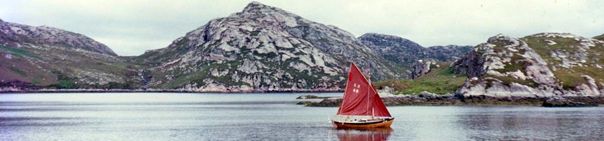
We trailed ‘Bob’s log’ for thousands of miles, through the dark grey-green stormy waters of the North Atlantic, then astern it span amidst the vast shoals of skipjack tuna that followed us in the big blue rollers that swept up from astern in the warm northeast trades as we headed for the West Indies.
In Barbados, we bought a bottle of Mt Gay rum for Bob and stowed it carefully.

Then becalmed in the Gulf of Panama, his log hung straight down, its 60ft line as if nothing, giving scale to the clear blue vastness of the deep. Sharks eyed it, but tastier prey must have abounded, for they never touched it, and it survived the voyage unscathed.
It proved surprisingly accurate, its readings confirmed by my sun and star sights, and invaluable all the time, but particularly so for monitoring our speed and distance as we approached land on cloudy days and nights after long passages.
So, that’s how we measured the distance run (about 12,000 nautical miles, 22,224 km in all) aboard The Aegre in the early 1970s. With an antique log more than a hundred years old, on loan.
But what happened to the rum? And where is Bob’s antique log today? Ah well, looks like you’re just going to have to buy the book…
Back to The Aegre Voyage homepage
Subscribe for more background; buy the book for the whole story.